Search

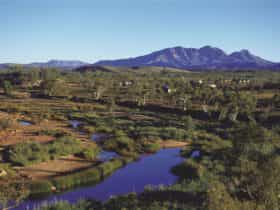
Mt Sonder
Things To Do Mount Zeil, MacDonnell, Northern Territory
Natural Attractions
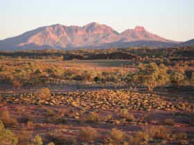
Mt Sonder is the highest point in the West MacDonnell Ranges. It marks the western end of the Larapinta Trail, a 231 kilometres walking trail that extends from Alice Springs.
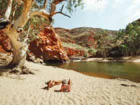
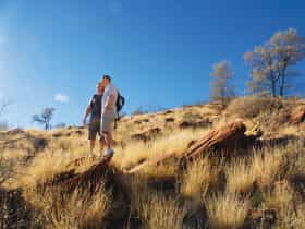
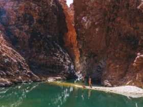
Walk the challenging trail to the top of Mt Sonder, at 1,380 metres above sea level, for spectacular views across the ranges and the surrounding plains. The trail can be accessed from the Larapinta Trail or from Redbank Gorge carpark.
Look for local wildlife, including the Grey-headed honeyeater, the desert mouse and termite tunnels on spinifex.
Near the summit the vegetation changes and the round-leafed mallee and native pine become more prevalent on the high slopes and stony cliffs. Look for the wide range of birds of prey, such as the Wedge-tailed eagle and the Peregrine falcon and wood swallows circling the summit, riding the thermal updraughts.
Pitch a tent at the Ridgetop or Woodland camping areas at Redbank Gorge. Multi-day walker fees and camping fees apply. Multi-day trail use and campsites must be booked online before you arrive.
Facilities
Lookouts
Activities
Birdwatching Hiking WalksMembership
Regional Tourist/Tourism Association/Organisation Visitor Information CentreRates
From AU$10.00
Park entry fees – Parks Pass applies.
(NT residents exempt).
Camping and extended walk fees apply to all visitors.