Search

Wooroolin Wetland
Things To Do Wooroolin, South Burnett, Queensland
National Parks and Reserves
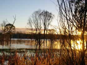
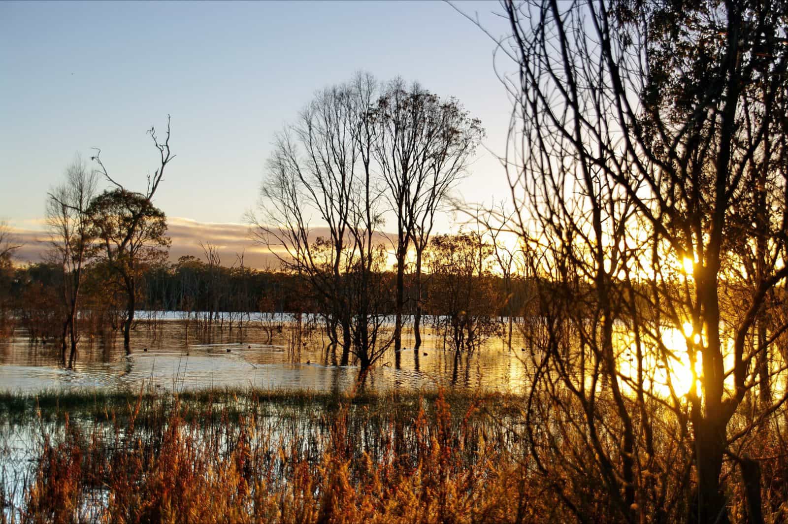
The Wooroolin Wetland is located at the township of Wooroolin, 16 kilometres north of Kingaroy along the Bunya Highway. Wooroolin Wetlands was declared a fauna sanctuary in 1973, now classified as a palustrine wetland, a non-tidal, inland, seasonally flooded, vegetated swamp. After successive floods in 2011 and 2013, the wetland burst its banks and Wooroolin was flooded for the first time in recorded history.
A bird hide and two walking trails have been established for naturalists to fully appreciate resident and migratory fauna. However the walking trails are only accessible during dry periods and can be accessed from Wooroolin Sports Ground. Over 25 different birds have been sighted including nankeen kestrels, striated pardalotes and golden-headed cisticola.
Over two kilometres of endangered vegetation has been fenced to help restrict access and protect the local and regional species. Revegetation is taking place in this eucalypt woodland and particular attention is being paid to the endangered Queensland Blue Gum.
Wooroolin State School planted 80 native trees in 2003 and will continue with an annual tree-planting program. Nesting boxes have been provided as alternative habitats for sugar gliders and possums. Interpretive signage has been erected to promote project achievements, local information, wildlife and tracks.
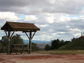
Facilities
Carpark
Coach Parking
Picnic Area
Activities
BirdwatchingRates
Free Entry