Australia is our home and this is the best place to explore it! Within these pages you will find information on over 15,000 Australian towns and cities and guides on things to do there. We have some great destination and holiday guides, hotels deals, tours and upcoming events for places all over the country. If you are looking for accommodation, restaurants or local attractions we can help you find them. If you are planning a trip we can help you get there. We have also included maps, and some interesting facts including all the states and territories. so what are you waiting for? Your adventure starts right here.
The “Aussie” way of life is the envy of the world and with such diversity, it has something for everyone to enjoy. This is a big country, the world’s largest island and the sixth largest nation. Most international visitors underestimate how big it is and how far it is between our major cities. The climate ranges from wet tropics to the Arid outback with just about everything in between. Equally famous for it’s landscapes of pristine beaches, tropical islands and the rugged outback as it is for it’s cities, each with a unique personality and culture. Exploring Australia should be a must on everyone’s travel wishlist.
To get started, explore a state or territory or choose an experience or popular destination. You can also use the maps to drill down to where you want to visit.
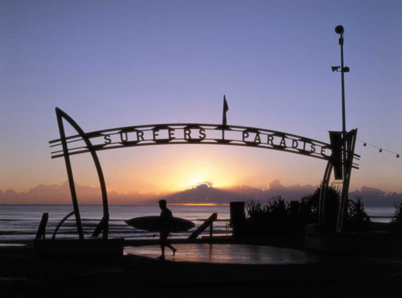
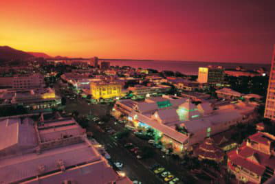
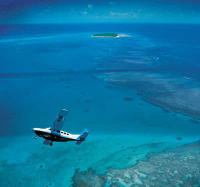
Queensland offers a wonderful tropical climate with amazing coastal beaches and lush rain forests.If you are looking for a warm climate or a tropical island on the Great Barrier Reef Queensland is top of the list.
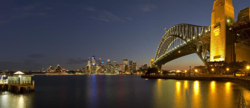
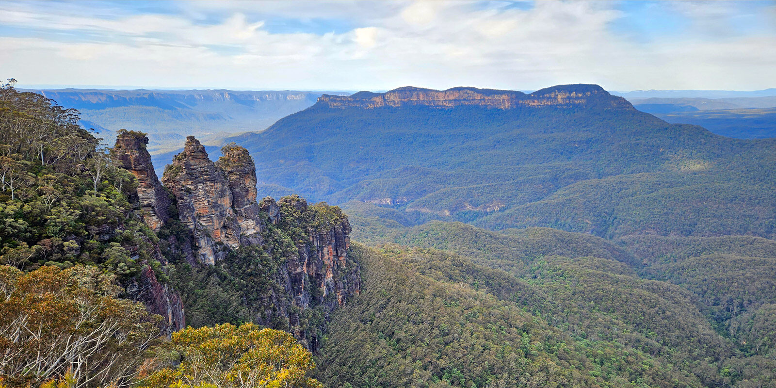
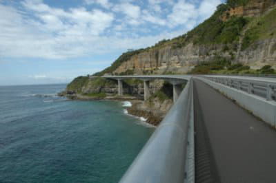
New South Wales has wonderful coastal holiday destinations and some famous outback towns that are well worth a visit. Sydney of course is the place for spectacular city night life and great shopping.
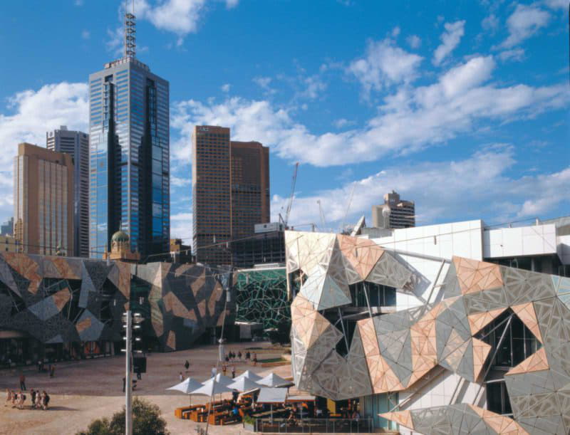
Victoria is the cultural capital with (arguably) the best food and wine. Melbourne is a wonderful multicultural city and Victoria’s scenic destinations are also unique.
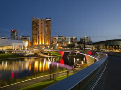
South Australia is famous for its wine growing regions and a relaxed country lifestyle with a rich heritage. Adelaide is often referred to as the Festival City and has a diverse cultural mix that guarantees the food is sensational.
Tasmania is a wonderful alternative to the city life with a rich heritage and some of the nation’s best wilderness areas. Cool and quiet ‘Tassie’ is a great escape destination.
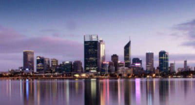
Western Australia is a visual feast with spectacular pristine beaches and rugged outback destinations. Known for it’s wildflowers and the Margaret River wine regions WA is a must on any explorers to do list.
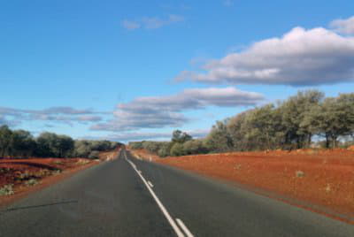
Northern Territory is perfect for a real outback experience and a scenic wonderland, don’t miss the opportunity to explore the ‘Top End’ where you will see amazing landscapes such as Katherine Gorge, Kakadu, the Olgas and of course the iconic Uluru (Ayers Rock).
The Australian Capital Territory and Canberra are the home to Parliament House and many of our national treasures by way of galleries, museums and cultural attractions. Delicious food awaits at the city’s many markets and restaurants.
Enjoy you’re visit and come back again soon!.
Experience Australia


Popular Destinations
Australia is home to so many iconic destinations so why not start with some of the favourites. All our destinations include guides to upcoming events, local attractions, nearby hotels and accommodation and even where you can grab a bite to eat.